Blogs / How To / How to Use Google Earth: A Quick Guide for Beginners!
Blogs / How To / How to Use Google Earth: A Quick Guide for Beginners!

Ananya Dasgupta
23 May 2025
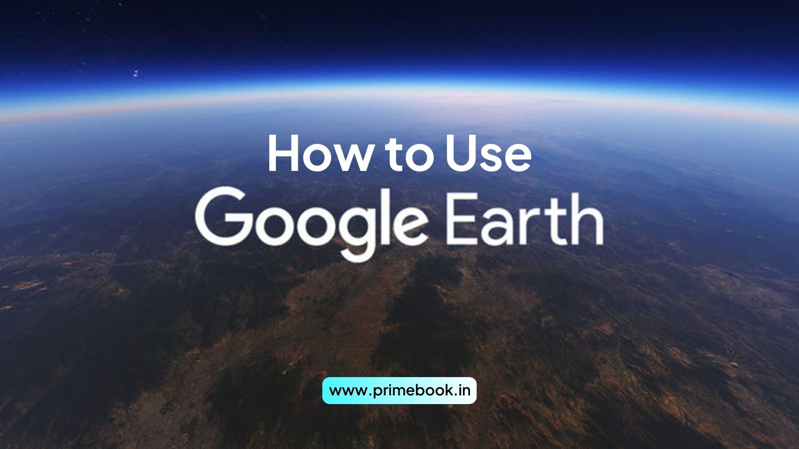
How to Use Google Earth: A Quick Guide for Beginners!
In today’s digital-first learning landscape, tools that combine visual clarity with interactive learning are gaining momentum. Among them, Google Earth has become a go-to resource for students, educators, and self-learners alike. With over 500 million downloads globally and integration into classrooms across the world, it supports not just location discovery but spatial reasoning, environmental study, and real-time geographic context. This blog will show you how to get started and how to use Google Earth effectively to enhance your understanding of the world from the comforts of your home.
A Brief on Google Earth
Launched in 2001, Google Earth is a powerful virtual reality-based platform, developed by Google, that enables you to explore the world in detail through satellite imagery, terrain data, and historical records. Originally designed as a 3D map viewer, this VR platform now offers interactive experiences such as ground-level Street View, detailed cityscapes, and time-lapse visualizations of global change.
The interface includes tools for measuring distances, toggling data layers, and navigating 3D terrain, all accessible through a streamlined top-menu dashboard. As a user, you get to dive into urban development, environmental shifts, or even geotagged content like YouTube videos, enhancing both learning and research use cases.
How to Start Using Google Earth?
Getting started with Google Earth is simple. All you have to do is follow these quick steps!
Step 1: Either visit earth.google.com to access the web version of this virtual reality platform or download the Google Earth app from the dedicated app store on your device.
Step 2: You can start exploring right away, but logging in with your Google account will allow you to save locations, access history, and create custom projects.
Step 3: Use the Search Bar to enter any location, monument, country, or address you want to explore. You can switch between 2D, 3D, and Street View modes to visualize the place in different formats and perspectives.
Also Read: How to Use Skillshare App for Skill Enhancement?
How to Effectively Use Google Earth?
Here are some of the best ways to use Google Earth efficiently for exploration, education, and research!
1. Learn Geography and Earth Science
You can use Google Earth to explore continents, oceans, mountain ranges, and landforms in full 3D format. The Voyager feature here includes guided geography tours created by experts from National Geographic and BBC Earth, helping you understand ecosystems, tectonic movements, and climate zones.
2. Take Historical Tours
Google Earth’s Time-lapse tool allows you to see how a region has evolved over the last 37 years. From melting glaciers to expanding cities, this tool is valuable for filling your knowledge gaps on history, environmental science, and social studies.
Also Read: How to Use Google Scholar for Academic Research?
3. Use Street View for Real-World Context
If and when you intend to see what a neighborhood or monument actually looks like, drop the Pegman on any blue-highlighted area to enter Google Earth’s Street View mode. It's especially useful for architecture students studying design, travellers previewing destinations, and civics or history projects.
4. Create and Share Custom Projects
Google Earth’s Projects feature allows you to pin multiple locations, add notes, images, or YouTube videos, and create virtual storytelling presentations. Such a feature can serve you significantly if you’re a teacher, an NGO, a content creator, or a student preparing interactive reports.
5. Explore Random Places for Fun
Whenever feeling adventurous, leverage the “I’m Feeling Lucky” button on Google Earth to teleport to random places around the globe. You may land on a remote island, a cultural site, or a city you’ve never heard of!
Also Read: How to Use the Coursera App for Online Learning?
Additional Tips
-
Enable 3D mode for realistic landscape and building visualizations.
-
Use the Measure Tool to calculate distances between landmarks.
-
Bookmark favorite locations for quick revisit.
-
Zoom gradually for smoother navigation (especially on mobile).
-
Integrate with Google Classroom to enhance digital assignments.
To wrap up, Google Earth is more than just a map, it’s a digital globe with endless value for both learning and leisure. Whether you’re studying geography, planning travels, or exploring out of pure curiosity, it brings the world closer in ways once only possible through physical travel. In a time where digital exploration is constantly reshaping how we learn, research, and connect, Google Earth stands out as one of the most immersive tools available.
Also Read: How to Use The Khan Academy App for Learning Maths?

 Related Blog